Product description
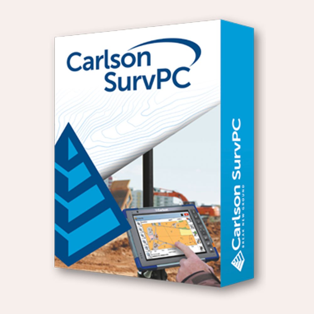
Carlson SurvPC 7 is a software designed for field data collection and surveying. The benefits of upgrading to Carlson SurvPC 7 include:
- Improved Performance: Faster and more efficient performance compared to previous versions, allowing you to collect data and complete surveys quicker and with greater accuracy.
- Enhanced Compatibility: Carlson SurvPC 7 is compatible with a wider range of devices and operating systems, which means you can use it on more devices and platforms, including tablets and laptops running Windows 10.
- User-Friendly Interface: The user interface is easy to use and navigate, making it a more accessible tool for both experienced and novice surveyors.
- New and Advanced Features: Carlson SurvPC 7 comes with new and advanced features that can help you increase your productivity and efficiency, such as advanced data visualization tools, automatic point numbering, and the ability to import and export data to a wider range of file formats.
- Improved Data Management: You can easily manage your survey data, including the ability to merge and edit data in the field, and share data with team members in real-time.
- Reduced Downtime: Carlson SurvPC 7 is more reliable and stable, reducing downtime due to software crashes or other technical issues.
Overall, upgrading to SurvPC 7 can help you work faster, more accurately, and more efficiently in the field, saving you time and money while improving the quality of your surveying work.
A full list of compatible instrument drivers can be found at survpc.com/supportedHardware.
SurvPC 7 is available in more than two dozen languages including English, Spanish, German, French, French (Canadian), Russian, Portuguese, Czech, Dutch, Greek, Italian, Polish, Hungarian, Swedish, Latvian, and more.
New features in SurvPC 7 include:
- SurvNet least squares adjustment in the field
- BIM Support for viewing and 2D/3D staking (IFC and RVT)
- Esri ArcGIS Online integration
- Enhanced graphical averaging with full data visibility
- Customizable report generation with field email option
- Catenary survey for robotic total station
- Auto refreshing reference drawings
- Total station monitoring
- Advances in road staking to support BIM and DTM models with real time sectioning
- Fully customizable user hot list
For a full list of new features, you can view a product brochure here, an overview presentation here or the release notes here.


