-
 SurvPC supports the widest range of popular and newly released RTK GPS and conventional and robotic total stations, putting the power of Carlson’s in-field coordinate geometry at your fingertips. Note that this is an upgrade from Version 6 - click here to buy SurvPC 7 instead of an upgrade. You can add own the Carlson SurvPC Robotic Module here: New features of SurvPC 7 include:
- SurvNet least squares adjustment in the field
- BIM Support for viewing and 2D/3D staking (IFC and RVT)
- Esri ArcGIS Online integration
- Enhanced graphical averaging with full data visibility
- Customizable report generation with field email option
- Catenary survey for robotic total station
- Auto refreshing reference drawings
- Total station monitoring
- Advances in road staking to support BIM and DTM models with real time sectioning
- Fully customizable user hot list
-
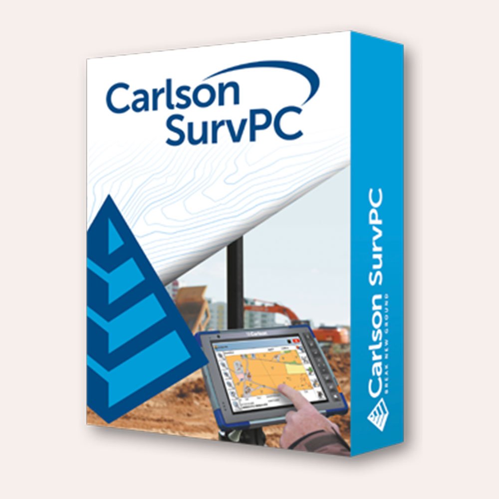
There’s a reason surveyors make Carlson their first choice in data collection software. SurvPC combines advanced functionality, ease-of-use, and cutting-edge features with excellent service and award-winning technical support. SurvPC supports the widest range of popular and newly released RTK GPS and conventional and robotic total stations, putting the power of Carlson’s in-field coordinate geometry at your fingertips. New features of SurvPC 7 include:
- SurvNet least squares adjustment in the field
- BIM Support for viewing and 2D/3D staking (IFC and RVT)
- Esri ArcGIS Online integration
- Enhanced graphical averaging with full data visibility
- Customizable report generation with field email option
- Catenary survey for robotic total station
- Auto refreshing reference drawings
- Total station monitoring
- Advances in road staking to support BIM and DTM models with real time sectioning
- Fully customizable user hot list
-
Out of stock
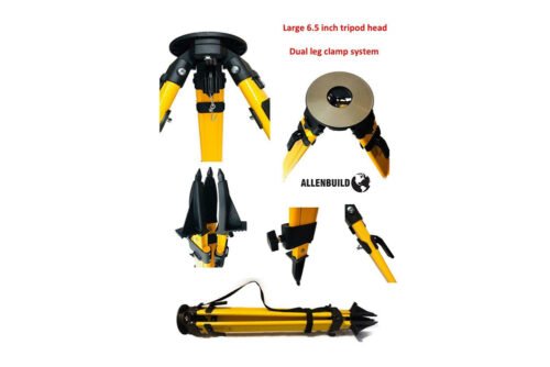
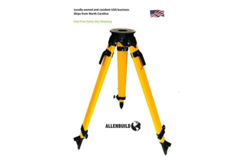
 Quality Allenbuild Fiberglass 5/8inch Flat Head Tripod: Most popular seller. Allenbuild Heavy duty Fiberglass Tripod is a strong tripod suitable for construction conditions. It has a shoulder/carry-strap and is easy to transport. Each leg has an individually machined strong tip that is suitable for hard and soft ground. Most popular seller. This HD fiberglass tripod is ideal for any survey application. See demo on youtube: https://youtu.be/040Wqwg5tvE
 -
SurvPC supports the widest range of popular and newly released RTK GPS and conventional and robotic total stations, putting the power of Carlson’s in-field coordinate geometry at your fingertips. Note that this requires SurvPC Basic (TS). New features of SurvPC 7 include:
- SurvNet least squares adjustment in the field
- BIM Support for viewing and 2D/3D staking (IFC and RVT)
- Esri ArcGIS Online integration
- Enhanced graphical averaging with full data visibility
- Customizable report generation with field email option
- Catenary survey for robotic total station
- Auto refreshing reference drawings
- Total station monitoring
- Advances in road staking to support BIM and DTM models with real time sectioning
- Fully customizable user hot list
-
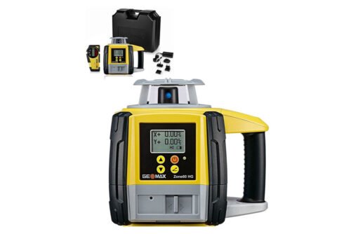
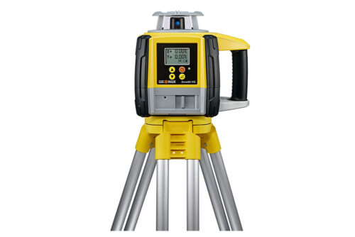
The Zone60 HG is a semi-automatic laser rotator. Semi-automatic means that the laser self-levels only when in Level mode, not when grade is entered. The Zone60 HG is a laser tool for general construction and leveling applications such as:
-
- Setting forms
- Checking grades
- Controlling depths for excavations
-
- Driveways
- Parking lots
- Landscaping
-
ShopSally Compton2023-02-21T03:43:31+00:00